
Cataloging Public Objects Using Aerial and Street-Level Images – Urban Trees
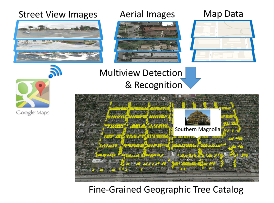
From Google Maps to a Fine-Grained Catalog of Street trees
Dataset
|
The Pasadena Urban Trees dataset includes roughly 30,000 trees labeled by geo-location and tree species located within Pasadena. The dataset includes dense aerial and street view imagery for this region, as well as the train/test splits used in the paper. Due to licensing restrictions, it may only be used for research purposes and is available by sending a request to registree@googlegroups.com.
|